Newton Township first appeared in Cumberland county tax records in 1773 although it was organized by 1767. In 1929, Newton divided into North Newton and South Newton Townships.
The early settlers in the area were Scots-Irish but German families began to move in toward the end of the 18th century. By the time the township had formed, most of the land had been taken up and the area had a settled population.
The original Newton Township was bounded on the north by the Conodoguinet Creek, on the east by West Pennsboro, Penn, and Cooke Townships, and on the west by Southampton and Hopewell Townships. The southern tip touches Adams County.
In 1929, U. S. route 11 became the dividing line to form North and South Newton Townships. The northern township is the larger; the southern retains a wedge or triangle shape.
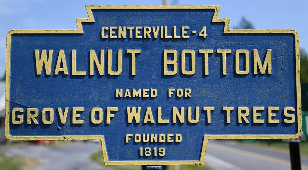
South Newton includes two small towns: Stoughstown sits along route 11 on the northern edge of the township and Walnut Bottom straddles route 174, the old Carlisle-Shippensburg route. Stoughstown got its name from John Stough, a store and tavern proprietor with a reputation for good food. Walnut Bottom began as Frystown, named for resident Peter Fry, then became Canada (after Cyrus Canada), followed by Jacksonville (for President Jackson), but finally by 1850 with the postal address of Walnut Bottom.
South Newton Township is rural and has been used extensively for agriculture. Small streams and springs provide water although no major streams pass through its boundaries. The Yellow Breeches Creek has its origin here, but is at this point only a very small stream.
The brief histories of the township record names of early settlers and their confrontation with Indians in the 18th century. Contemporary news articles of the 21st century tell of a young resident bitten by a feral, rabid cat. As a result, some citizens expressed concern for eliminating the feral cat population; other folk, both within and without the township boundaries, objected and offered alternatives.
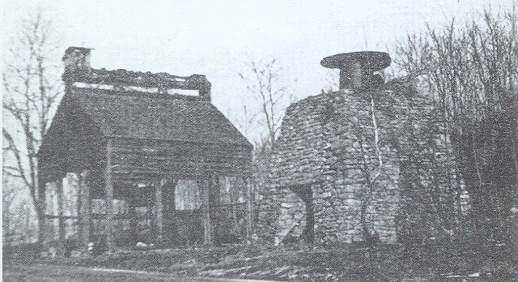
During the nineteenth century, Walnut Bottom grew with a variety of small businesses: weavers, dress-makers, small stores, etc.; with schools; and with churches. Of special note was the development of the Big Pond Furnace. The iron ore along the base of South Mountain brought several such furnaces into existence. By 1880, however, with technological changes in iron production, Big Pond was abandoned.
The churches of Walnut Bottom changed with mergers in the twentieth century: the Jacksonville Evangelical United Brethren Church (itself the result of a denominational merger) merged with the Rehoboth Methodist Church to form the Trinity United Methodist Church in 1969. In addition, there is also The Church of Christ.
In keeping with the trends of the twenty-first century, the small businesses have disappeared and school students are now bussed to Oak Flat and the Big Spring school district. The local cable provider, Kuhn Communications, resides in South Newton.
Available demographics report that the 2000 census found 1290 residents. The township includes 11.1 square miles. Although the township is rural and agricultural, it serves as a home community for many who work in nearby towns and businesses.
Credit given to the Cumberland County Historical Society & the Gardner Library for providing the history of South Newton Township. For more information on South Newton Township and surrounding townships, visit the Cumberland County Historical Society website by clicking here: https://www.historicalsociety.com/
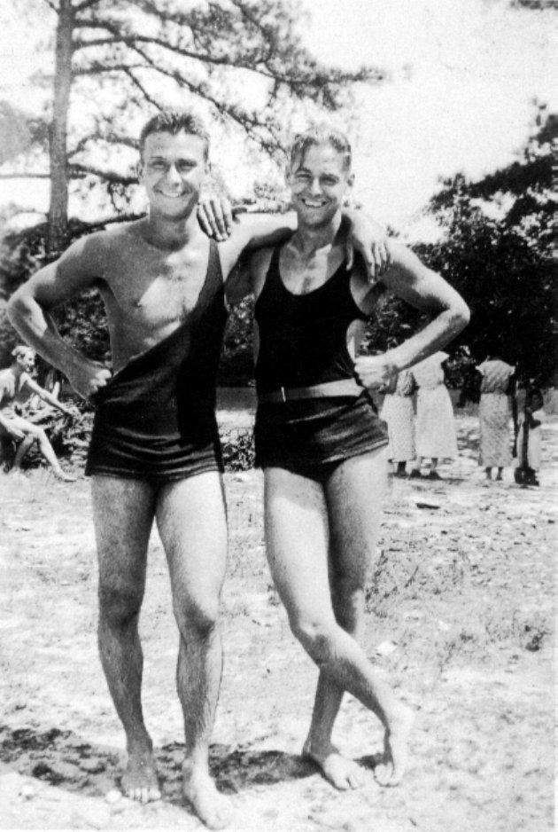
Photos (left to right): Big Pond Furnace at South Mountain, Pennsylvania circa 1915; Big Pond Furnace during the Great Depression circa 1936; Black & white photo of two men in bathing suits with other people in Big Pond, South Newton, Pennsylvania in the background.


